1
5.4 Aerial photography overlay
5.5 Setting up the 3D chart
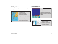
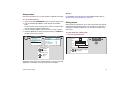
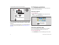
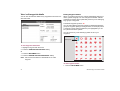
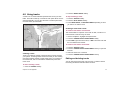
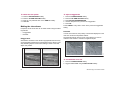
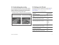
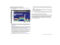
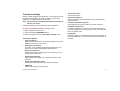
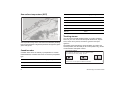
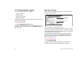
You can overlay aerial photography onto the 3D image. This can
help you interpret the chart view of your surroundings. Aerial photography is available for the navigable waters up to three miles
inside the coastline. Beyond these limits, land appears green (on
color charts) or grey (on black-and-white charts).
The 3D chart setup menu is available from the system setup menu.
For information on using the system setup menu refer to Setup
menus on page 25.
•
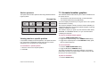
Aerial photo overlay is controlled from the 3D chart Setup Menu.
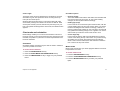
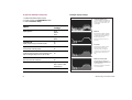
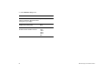
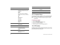
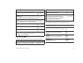
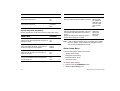
The 3D chart menu gives the following options:
FUNCTION
OPTIONS
Description
(Default in bold)
Centre-of-view indicator
ON
Centre of view indicator (marked with a white
cross)
OFF
Boat symbol
Sail
Style of boat symbol shown on screen
Power
Boat size
Tiny
Size of boat symbol shown on screen
Small
Medium
Large
Chapter 5: 3D chart application
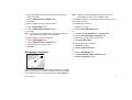
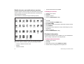
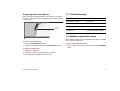
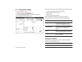
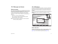
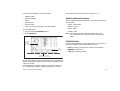
3D image with aerial overlay
High
D8848_1
Standard 3D image
Aerial Photo Overlay
ON
Overlay an aerial photo on the 3D chart
OFF
Chart text
ON
Text viewed on the 3D chart
OFF
Nav Marks
ON
Navigation marks viewed on the 3D chart
OFF
71