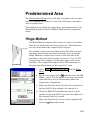
1
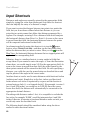
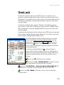
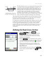
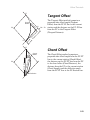
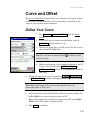
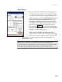
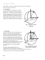
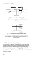
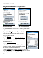
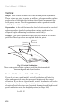
GPS Overview
Horizontal Coordinate Systems
Survey projects use horizontal coordinates on either a local plane or a
map projection. For small projects, you can assume a simple flat
earth plane and calculate coordinates directly with measured
distances. Use Ground - TDS Localization mode for this procedure. For
large projects, a mapping plane is used to accurately represent the
curved surface of the earth on a flat plane and conventionally
measured distances need to be scaled to the mapping plane grid.
Map Projections
A map projection uses equations to transform local latitude and
longitude into (y,x) Cartesian coordinates on a flat plane. Map
projections attempt to minimize distortions to the following
properties7:
• Conformality
A map projection is conformal when local angles are preserved.
Conformal maps are important for surveying because, for second
order surveys, angles measured on the ground are angles on the map.
Meridians (lines of longitude) and parallels (lines of latitude)
intersect at right angles and shape is preserved locally. The physical
characteristic of conformality is that the scale factor at any point on
the map is the same in all directions.
• Distance
A map projection is equidistant when it correctly plots distances from
the center of the projection to any other place on the map. Most map
projections involve some distortion of scale. Consequently, when
converting distances measured on the ground to distances on the grid,
a scale factor must be applied.
• Direction
A map projection is azimuthal when azimuths (angles from a point on
a line to another point) are correctly plotted in all directions.
7
http://www.colorado.edu/geography/gcraft/notes/gps/gps_f.html
223


![[Unlocked] GUÍA DEL USUARIO FOCUS 30 V 1.02](http://vs1.manualzilla.com/store/data/006176544_1-0930e4412e813c25403ac67d81b514d6-150x150.png)