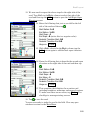
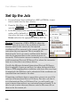
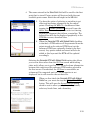
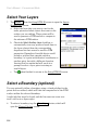
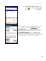
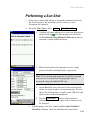
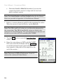
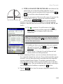
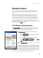
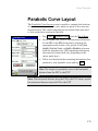
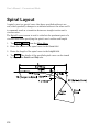
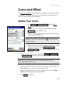
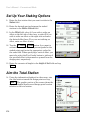
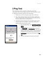
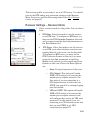
1
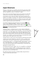
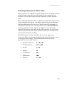
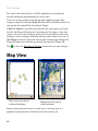
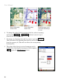
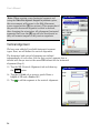
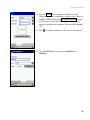
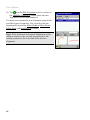
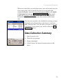
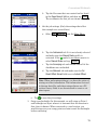
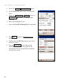
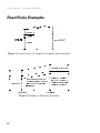
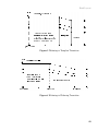
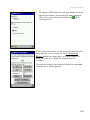
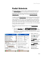
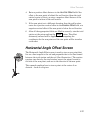
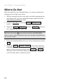
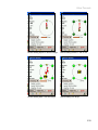
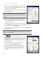
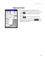
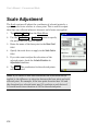
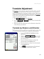
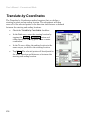
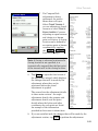
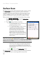
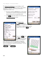
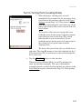
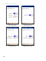
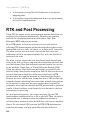
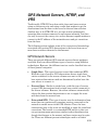
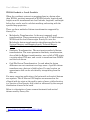
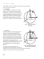
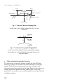
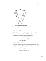
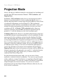
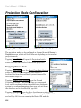
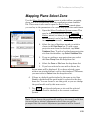
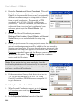
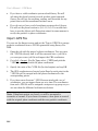
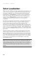
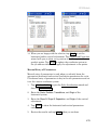
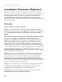
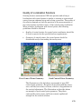
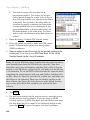
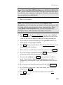
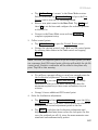
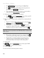
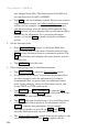
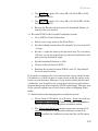
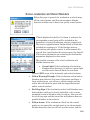
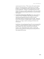
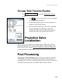
GPS Module
Quality of Localization Solutions
Starting from an autonomous GPS base position and solving a
localization with control points is similar to starting a conventional
survey from an unknown setup and solving a resection. The quality of
the solution depends on both the precision of the measurements to
the control points and the accuracy of the control point coordinates.
When solving a localization with control points, the following
guidelines should be followed:
•
Quality of control points: the control point coordinates should be
at least as precise as the specified survey requirements.
•
Geometry of control points: the control points should be
distributed evenly surrounding the survey area.
Poor Control Point Geometry
Good Control Point Geometry
The illustration on the left shows an example of poor GPS
control point geometry. The points do not surround the survey
area, and they are nearly co-linear, which is a big problem for
the vertical adjustment. The illustration on the right shows
an example of good control point geometry. The points
surround the survey area, and form a nearly equilateral
triangle for the vertical solution.
279


![[Unlocked] GUÍA DEL USUARIO FOCUS 30 V 1.02](http://vs1.manualzilla.com/store/data/006176544_1-0930e4412e813c25403ac67d81b514d6-150x150.png)