1
Working with Layers in the Layer Control
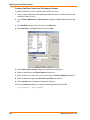
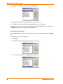
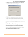
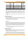
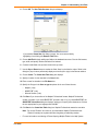
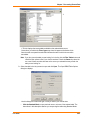
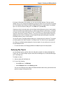
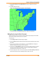
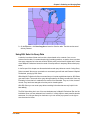
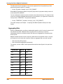
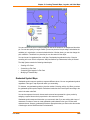
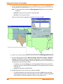
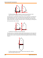
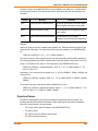
boundary layer to display when the zoom level falls between 20 miles and 200 miles. You want the
states boundary layer to be visible only when the zoom level is greater than 100 miles. You can set a
different zoom level for every layer in your Map window.
Note: When you add an object, a region, a line, or a polyline in the Map window and zoom out
beyond where the zoom layer would permit you to see that feature, MapInfo Professional
turns off zoom layering so you can continue to see what you are working on. When you
complete the add process, a message displays asking you if you want to leave zoom layering
off (so you will still be able to see the feature). If you click Cancel, MapInfo Professional
cancels the zoom layering. If you click OK, you need to adjust your zoom settings to see this
feature again.
For more information, see Changing a Map’s Zoom Level in the Help System.
Displaying the Lines, Nodes, and Centroids
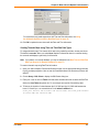
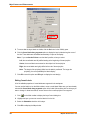
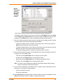
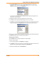
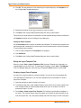
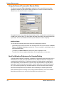
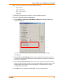
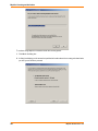
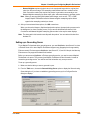
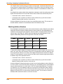
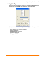
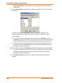
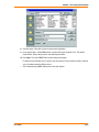
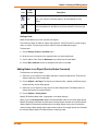
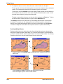
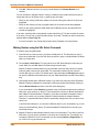
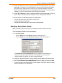
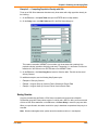
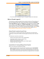
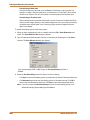
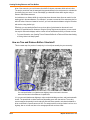
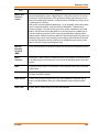
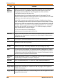
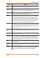
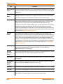
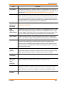
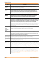
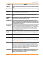
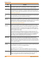
The Display Options dialog box allows you to display line directions, nodes, and object centroids.
Select the Show Line Direction box when you want to show the direction in which line objects are
drawn. Check the Show Nodes box to display the nodes in a layer.
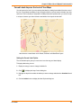
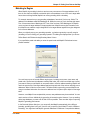
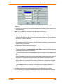
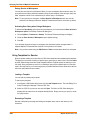
The Show Centroids box displays the centroids of each object in a layer. In MapInfo Professional, a
region’s centroid does not represent its center of mass. Instead, the centroid represents the location
used for automatic labeling, geocoding, and placement of thematic pie and bar charts. If you edit a
map in Reshape mode, you can reposition region centroids by dragging them.
See the Help System for these related topics:
•
•
•
•
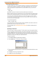
Changing a Layer’s Labeling Options
Changing a Region’s Centroid
Changing a Label’s Style
Drawing Autolabels
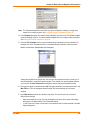
For instructions on inserting table-based style in the Layer Control dialog box, see Inserting Styles
into Tables in the Help System.
Understanding the Cosmetic Layer
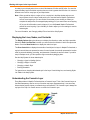
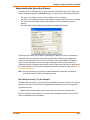
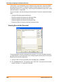
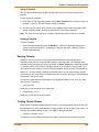
Every Map window in MapInfo Professional has a Cosmetic Layer. Think of the Cosmetic Layer as
the blank transparency that lies on top of the other map layers (transparencies). It can store map
titles and other graphic objects you create during a work session. The Cosmetic Layer is always the
top layer of the map. You cannot remove or reorder the Cosmetic Layer.
166
MapInfo Professional v. 9.0