1
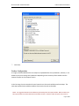
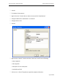
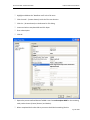
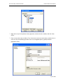
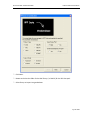
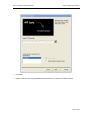
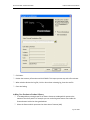
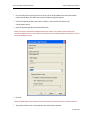
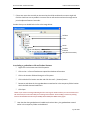
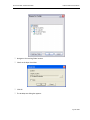
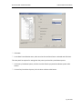
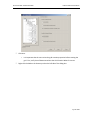
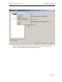
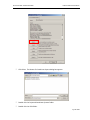
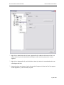
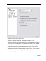
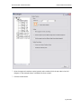
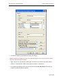
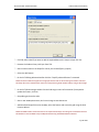
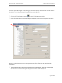
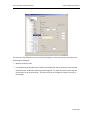
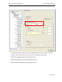
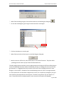
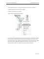
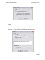
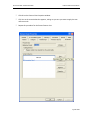
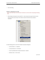
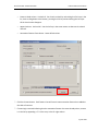
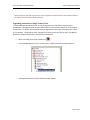
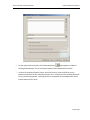
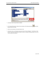
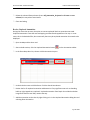
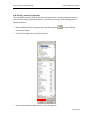
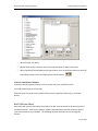
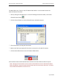
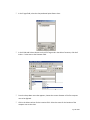
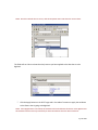
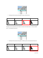
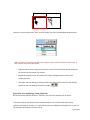
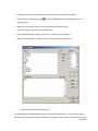
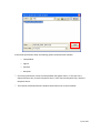
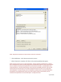
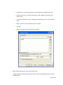
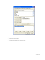
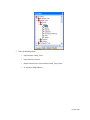
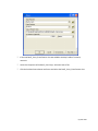
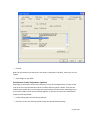
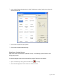
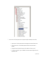
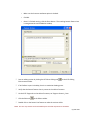
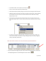
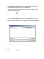
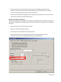
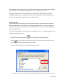
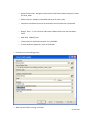
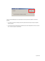
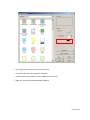
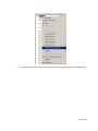
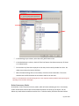
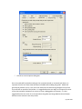
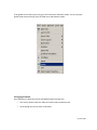
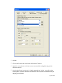
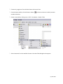
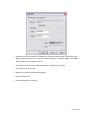
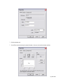
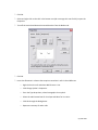
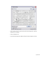
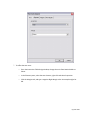
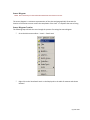
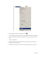
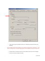
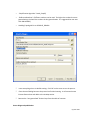
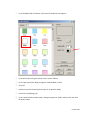
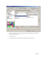
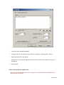
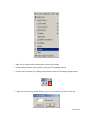
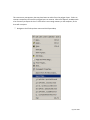
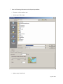
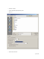
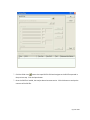
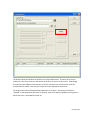
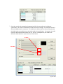
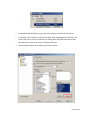
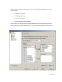
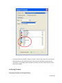
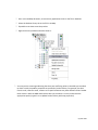
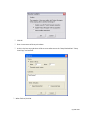
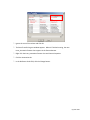
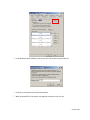
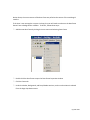
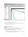
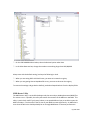
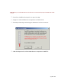
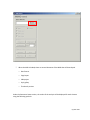
PLTS for ArcGIS - Nautical Solution
HAC Production Procedures
) Click OK on the Data Frame Properties to apply the change.
NOTE: The AOI that was added to the data frame should now appear in the center of data view and two
parts of the AOI should now be adjacent.
) Right click the layer that displays the AOI (layer name many vary however format will appear
similar to: “Nautical::Chart::CGD17::c514”) and choose Data > Export Data
) In the Export Data dialog Use the same coordinate system as the data frame and browse to a
location to create the output shape file.
Page 45 of 204