1
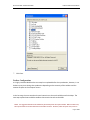
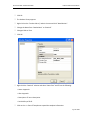
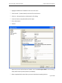
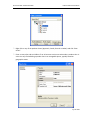
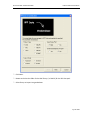
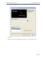
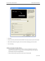
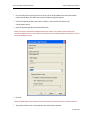
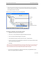
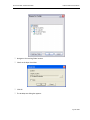
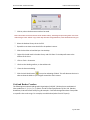
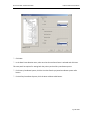
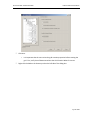
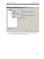
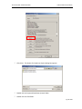
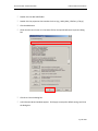
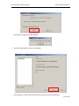
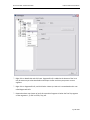
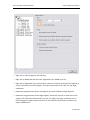
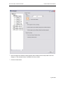
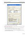
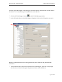
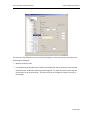
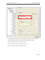
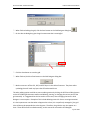
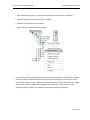
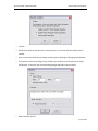
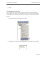
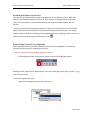
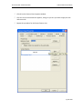
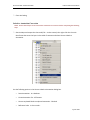
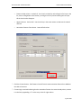
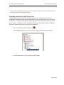
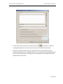
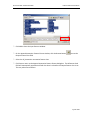
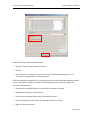
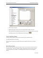
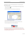
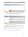
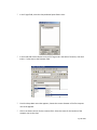
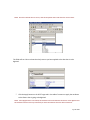
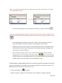
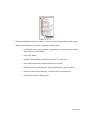
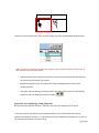
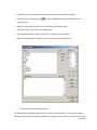
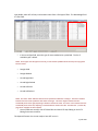
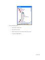
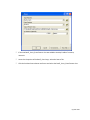
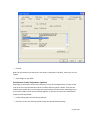
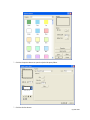
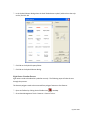
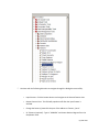
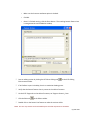
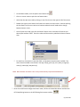
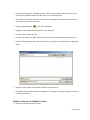
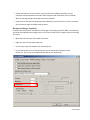
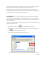
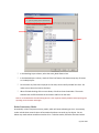
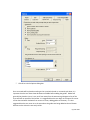
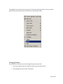
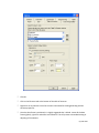
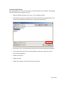
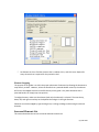
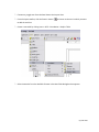
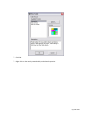
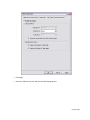
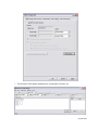
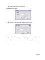
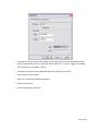
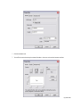
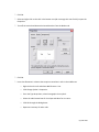
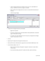
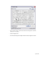
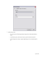
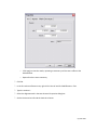
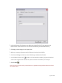
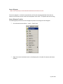
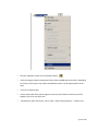
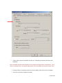
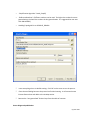
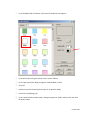
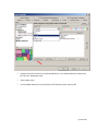
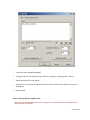
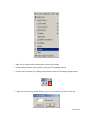
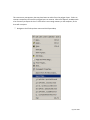
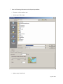
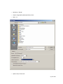
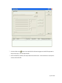
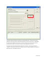
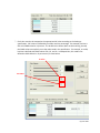
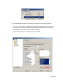
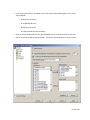
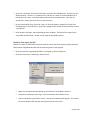
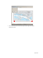
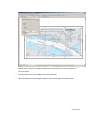
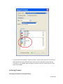
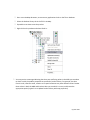
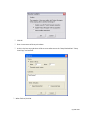
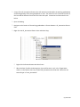
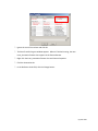
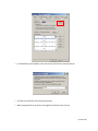
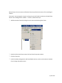
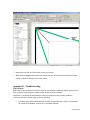
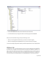
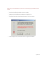
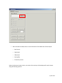
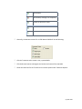
PLTS for ArcGIS - Nautical Solution
HAC Production Procedures
) Select the grid (top node) in the Grid Designer dialog.
) Click the Coordiante System button under Primary Coordiante System grouping, the coordinate
system of the grid, and in turn the chart is displayed.
) Click Save As.
) Browse to the file system location of the map document and database.
) Enter a name for the coordiante system file and click Save, this will create a file on the local
system that will be acccesed in a future steps.
) Click Cancel to close the Spatial Reference dialog.
) Click Close to close the Grid Designer dialog.
) Open ArcToolbox.
) In ArcToolbox, click Data Management Tools > Projections and Transformations > Feature >
Project.
) In the Input Dataset or Feature Class field, navigate to your geodatabase and select the
All_Annotation feature class.
The Input Coordinate System (optional) field will automatically be populated and unavailable.
) The Output Dataset or Feature Class field will also be automatically populated and will default to
your current geodatabase. The default naming convention will be All_Anno_Projected. If
desired, change the name of the new projected All_Annotation feature class.
) Click the
button to the right of the Output Coordinate System field to select the projection.
) On the Spatial Reference Properties window, click the Select button and navigate to file system
location of the map document and geodatabase where the coordinate system file was saved
previously.
) Select the PRJ file that was created as one of your Favorites earlier.
) Click OK.
) Leave the Geographic Transformation box empty and click OK.
Page 68 of 204