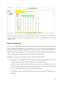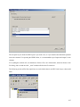
1
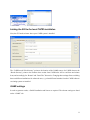
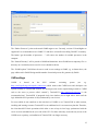
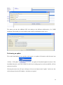
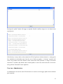
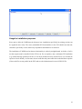
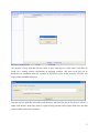
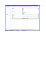
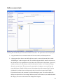
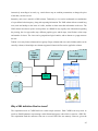
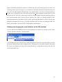
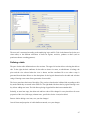
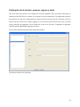
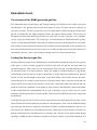
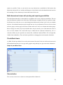
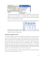
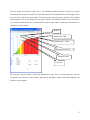
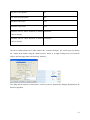
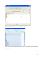
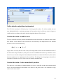
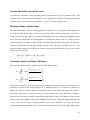
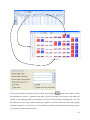
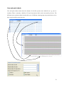
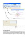
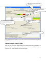
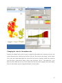
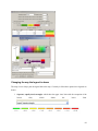
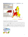
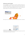
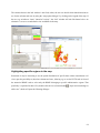
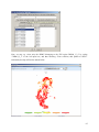
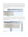
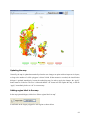
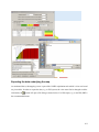
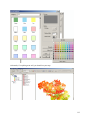
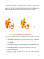
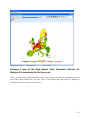
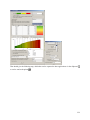
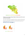
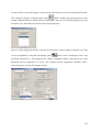
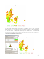
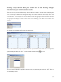
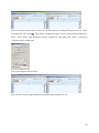
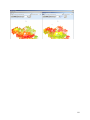
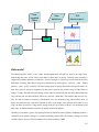
Client based solution
Technically, the exploitation tool is completely client based. That reflects the specific user profile of the
CAPRI modelling system where the exploitation tool is integrated with an economic model and tools
building up its data base. The main aim of the tool is to support forward looking policy analysis. For this
purpose users will create their own scenarios and in some cases even own variants of the export data,
which will lead to processes requiring considerable processing and storage resources. A client-server
solution where the production process and data storage would need to be hosted on a web server is
therefore not a preferred solution, also as users will often develop variants of the modelling system by
code modification in GAMS, and contribute to its development. The structure of the data driver would
however very easily support linkage to a network or WEB based data bases. It should however be noted
that the data base and GAMS code are managed via a Software versioning system, which is a kind of
client-server environment.
The geometry model
The mapping viewer of CAPRI is based on very simple and straightforward concepts. First of all, it
basically supports solely polygon geometries not comprising holes, line strings (interpreted as rivers) and
points for labelling. The storage model is optimised to host rectangles, and is especially efficient if the
polygons vertexes are all points in a raster. The topology is not read from a shapefile, but stored in a
generic rather simple format. However, a shapefile interface to generate the generic format is available.
The vertices are stored in x,y coordinates, already projected in a rectangular coordinate system, and the
viewer does not deal with the geographic coordinate system, but simply scales the rectangular coordinates
in the viewport. The viewer in its current version solely supports one layer of quantities. Those restrictions
naturally allow reducing memory needs, and, thanks to the rather simple data structures, also rather allow
performing drawing operations. It should be noted that the JIT compiler of JAVA is indeed rather fast.
The biggest topology currently handled simultaneously covers an intersection of Corinne Land Cover,
slope classes and Soil Morphological Units and comprises around 2.7 Million polygons for EU27. As the
majority of the polygons are rectangles, not more then 6-7 Million points needed to be stored. The
topology handler and the drawing routines separate rectangles, for which only the two outer points are
stored, from polygons, for which the vertices and centroids are stored.
The viewer is written in Java. There are two variants. One is a stand-alone version of the viewer realised
as an applet. It reads from an internal portable binary data format, and java classes, data and geometry can
be packed into one jar file, e.g. to ship it to a client. The second version is transparently integrated in the
GUI of the CAPRI modelling system.
136