1
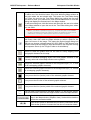
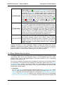
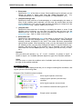
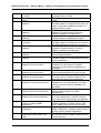
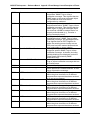
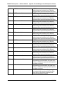
MG-SOFT Net Inspector — Reference Manual Action Object Properties Windows General View The General view contains the following controls: Name (input line) Displays the name of the action object. Type (input line) Displays the type of the action object (SMS). Description (input line) Displays a short description of the action object. Active alarms (frame) Displays a summary and a list of active alarms associated with the object. Summary displays the total number of active alarms and the number of active alarms broken down by severity levels. The list of alarms is displayed in the same manner as in the Events window. The SMS action object triggers the following events and alarms: MessageID Severity Message 10040 10041 10042 10043 10044 14001 Critical Critical Critical Critical Major Critical Invalid filter Extension process is not running Invalid settings Modem timeout Sending messages is temporarily disabled due to full buffer Failed to send message All alarms listed above change the status of the SMS object (the status will match the alarm severity level). Pop-Up Menu To display the pop menu, right-click one or more alarms in the list of active alarms. The pop-up menu contains the following commands: Details Opens the Event Details window, which displays details of the selected alarm. This window display the same information as the Event Details sub-window. Add Comment Opens the Add Comment dialog box that lets you enter or edit comment for the selected alarms. Comments are displayed in the Comment column. Akcnowledge Acknowledges the selected alarms. By acknowledging alarms, users declare that they are aware of the alarms. Acknowledged alarms are not shown in the alarm balloons. Unacknowledge Unacknowledges the selected alarms (reverses the Acknowledge operation). 77